|
|
|
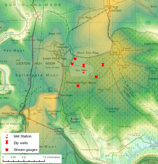
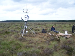
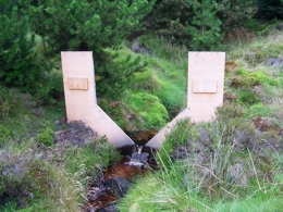
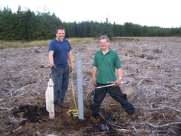
Research programme The current research builds on the campaign in 2002 and aims to record evaporative losses and record water table variations on the watershed of the mire. The new system is a multiple Meteorological Station (top right) with four height temperature, RH and wind-speed; net radiation; photosynthetically active radiation; peat temperature (at 10 and 100 cm); soil heat flux; rainfall; the mire water table depth). This sensor array will record precipitation variations and allow modelling of evapotranspiration for direct comparison with variations in bog surface wetness. Further dipwell locations have been drilled in the centre of the Eller Beck and Grain Beck catchments to examine the variability in water table behaviour across the mire and between the virgin mire and deforested sectors. Recording evaporation, precipitation and water table depth at several locations (storage) over the next 5 years will quantify losses from the mire water budget and will improve understanding of how the climate controls mire surface wetness. Monitoring will continue throughout the felling program to assess the impact that the modifications have upon May Moss. This measurement strategy will assess the causes of water table oscillation for an ecosystem where drying is a considerable threat, thus in part quantifying the impact of the proposed land management and significantly the role of climate change in controlling the health this peat land ecosystem. To assess changes in efflux (surface flow and through flow) from May Moss, the other avenue for water loss, we have installed surface flow recording stations, V-shaped weirs, 2 in the Grain Beck and two in the Eller Beck streams. These stations comprise data-loggers with water depth sensors installed at V-notch weir constructions in the stream-bed. This has allowed the discharge of water from May Moss to be quantified and related to the microclimate and hydrological data from the mire.
|
    |