|
|
|
Hydrology, woodland removal and climate change at May Moss, North York Moors January 2010 to 2015
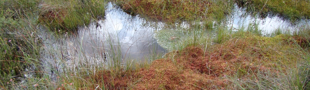
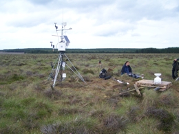
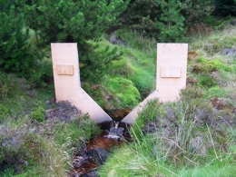
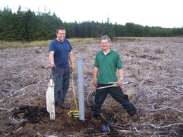
SITA Trust funded Partnership Project May Moss is the only extensive area (100-150 ha) of undisturbed water-shedding blanket mire on the North York Moors and one of the few in eastern England. May Moss has long been protected with SSSI status, but has been surrounded by extensive conifer plantations. Peatlands have a long history of exploitation by people; drained to improve land for agriculture; used as a domestic fuel; and more recently large-scale commercial extraction for fuel (in coal poor countries) and for the horticulture industry. Human activity to some extent has affected almost all peatlands throughout Europe. In the British Isles approaching 95% of the blanket mire habitat has been lost (98% of lowland raised mire). More recently awareness has grown of the value of these ecosystems leading to strategies that aim to sustain bogs for wildlife management, to control hydrological regimes (flood management) and importantly as a global carbon sink. Future climate change is potential threat to peatlands, and particularly for the rain-fed ombrotrophic mires where temperature and precipitation combine to control their hydrological well-being. In the past May Moss has been closely planted with conifers, principally over the area to the east, which forms a second deep peat deposit similar in character to that in the west. As it stands the current planted tree crops and associated drainage systems are drying out the bog.This project will address this issue by deforestation of some 70.6 Ha to restore the blanket bog area to its original extent, the regeneration of trees will be controlled and drainage ditches blocked to counter drying out and conserve the deep peat resource. Microclimate, hydrological and ecological monitoring strategies will be used to assess the changes in condition of the peat land, both intact and forested, during the restoration effort. Objectives
|
    |