 `
`
Where did these oaks grow?
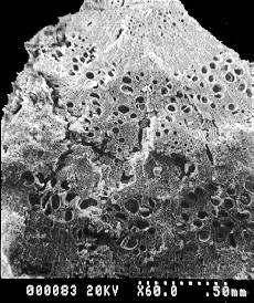
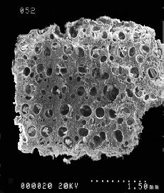
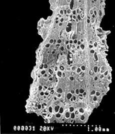
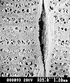
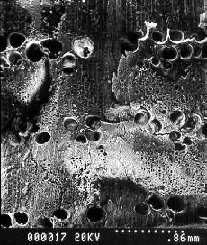
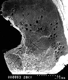
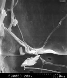
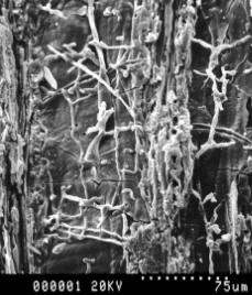
In this page I have included some examples of different types of oak wood charcoal found in Çatalhöyük, indicating a variety of growing conditions and, furthermore, the exploitation of dead wood as fuel, either from standing trees or from the re-use of defunct structural timber. One of the questions faced by environmental research at this Neolithic site, located at one of the lowest points of the Konya plain and on the outlet of the Çarşamba river, has been whether the site was optimally located for agricultural production. Amongst other sources of data, the abundance and regular presence in midden samples of charcoals from trees such as oak, terebinth, hackberry, almond, plum, chenopods and other dryland trees and shrubs was used to support an argument suggesting the exploitation of a wide range of resources spanning different environmental zones across the territory controlled by Neolithic Çatalhöyük. It is therefore conceivable that the Neolithic community (numbering according to conservative estimates some 2,000 individuals) could have maintained arable fields at various locations (both "distant" and more proximate to the settlement). Such a strategy might have offered to its inhabitants more opportunities to buffer periodic shortfalls in harvest yields (particularly those caused by extensive and unpredictable in their behaviour seasonal floods around the site) by taking advantage of cropping on drier areas.
`
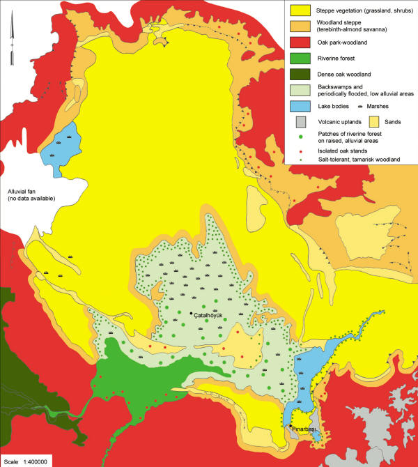
Map of the Konya plain showing a tentative reconstruction of the different Neolithic vegetation catchments based on the charcoal evidence from the archaeological sites shown on the map, the available palaeoecological and geomorphological analyses, the modern distribution of soil and landscape units, and vegetation descriptions from the same area and ecologically comparable regions in Southwest Asia (vegetation boundaries not to be scaled; the spatial extent of the floodplain follows its modern configuration. This map was first published in Asouti, 2005. for full details on the sources used and the charcoal data see Asouti, 2005; Asouti and Hather, 2001; Reference listings available here).
© Eleni Asouti, 2006